
Ridgecrest Shows How Earthquakes Damage Earth’s Crust
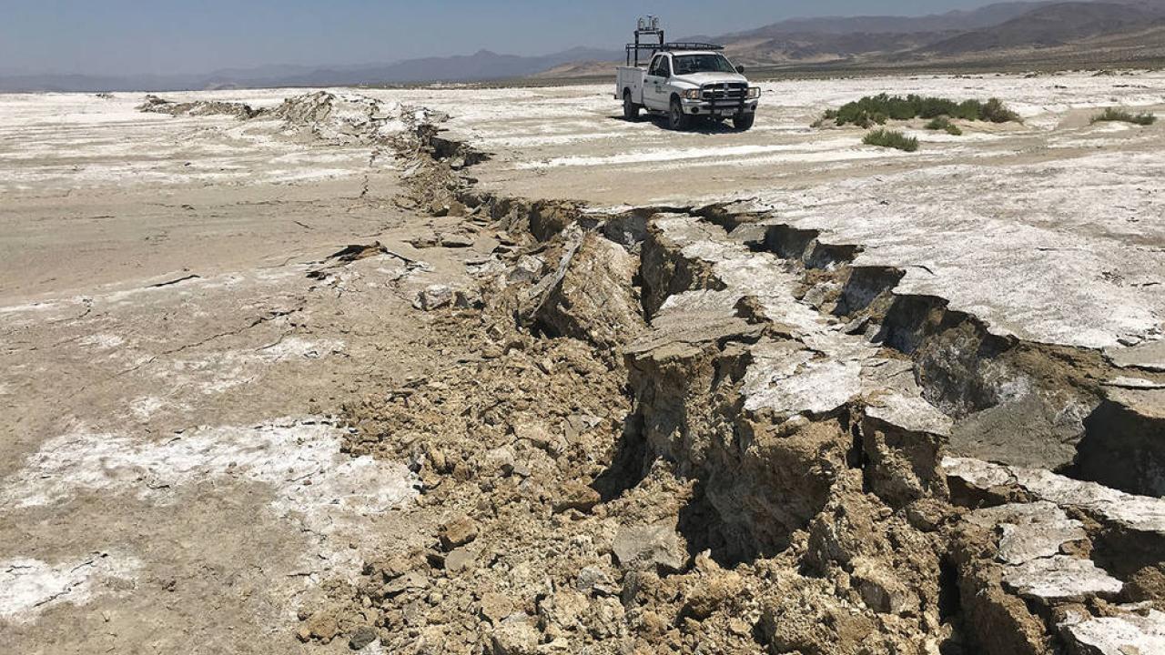
In July 2019, a series of earthquakes — including two major shocks of magnitude 6.4 and 7.1 — struck near Ridgecrest, California, between Los Angeles and Las Vegas. For local residents, it was a violent interruption to the Fourth of July holiday. For seismologists, it was a rare opportunity to study how earthquakes damage the Earth’s crust.
The earthquake zone — which belongs to a network of faults called the Eastern California Shear Zone — is sparsely populated and arid, without much in the way of vegetation or buildings to obscure the surface. But it is also well-covered by satellite and remote imagery and accessible to geologists who could be on the scene well before evidence of crust damage disappeared.
UC Davis doctoral student Alba Rodríguez Padilla was among the scientists studying the site, along with Professor Mike Oskin, UC Davis Department of Earth and Planetary Sciences; Christopher Milliner, California Institute of Technology; and Andreas Plesch of Harvard University. They mapped the surface rupture from lidar data and aerial imagery collected by prior studies, and compared the rupture maps to other datasets to explore the distribution of rock damage from the earthquakes. Their findings were published Feb. 24 in Nature Geoscience.
“We not only have aridity helping here; improvements in imaging technique and resolution, together with collecting a large spatial data footprint, are what make the Ridgecrest coverage cutting-edge,” Rodríguez Padilla said.
Inelastic deformation
The rock surrounding the fault suffered from “inelastic deformation,” meaning it was deformed and broken rather than returning to its original configuration. The deformation was highest within 100 meters (328 feet) of the fault, with widespread, low-intensity damage up to 20 kilometers (16 miles) away.
This deformation leaves the rock around the fault less rigid than before, softening the crust. This softening dissipates energy from future earthquakes, increases permeability and focuses deformation.
The study provides a better understanding of how damage from earthquakes accumulates and might affect future events, Rodríguez Padilla said.
The study was funded by the Southern California Earthquake Center, which is supported by the National Science Foundation and the U.S. Geological Survey. Rodríguez Padilla was partly supported by a NASA fellowship.
— Andy Fell, UC Davis News and Media Relations, for the Egghead blog